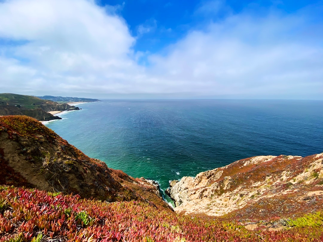
The Best Headland Photo Spots around Point Reyes National Seashore in United States
Explore Headland pictures of Point Reyes National Seashore with the travel spots on a map
9 Headland Spots of Point Reyes National Seashore on a Map
Pictures of Headland on the interacive map of Point Reyes National Seashore
Headland Spots and Pictures around Point Reyes National Seashore
Discover popular destinations in Point Reyes National Seashore with their travel guides
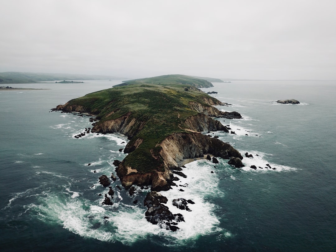
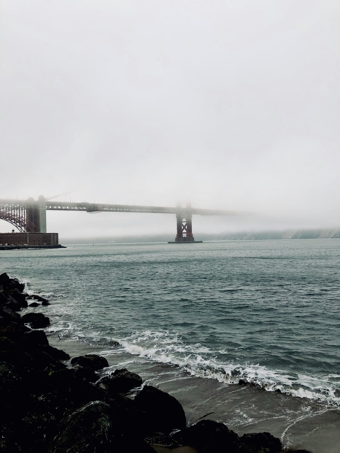
Point Reyes National Seashore
Read the Travel guide View on Google Maps
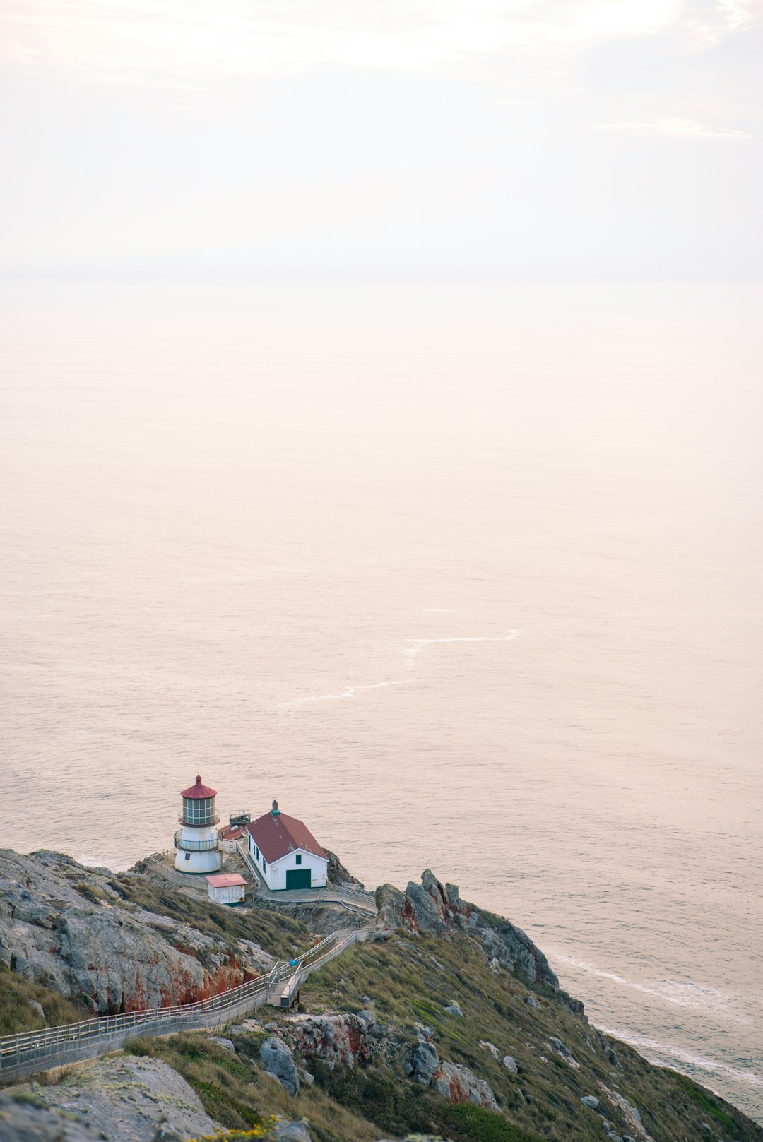
The Point Reyes Lighthouse Visitor Center
15 km away from Point Reyes National Seashore
Read the Travel guide View on Google Maps
Inverness
21 km away from Point Reyes National Seashore
Read the Travel guide View on Google Maps
Bodega Bay
24 km away from Point Reyes National Seashore
Read the Travel guide View on Google Maps
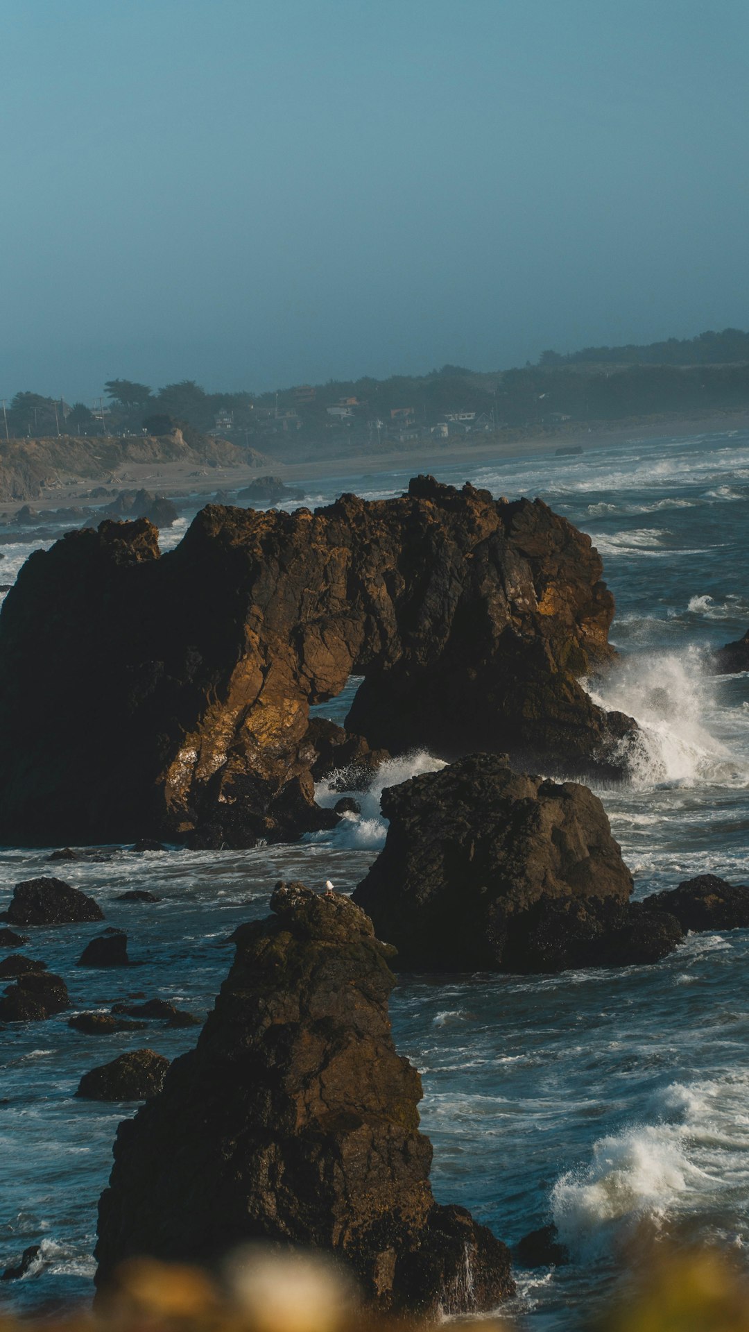
Sea Cliff
46 km away from Point Reyes National Seashore
Read the Travel guide View on Google Maps
San Francisco Bay Trail
46 km away from Point Reyes National Seashore
Read the Travel guide View on Google Maps
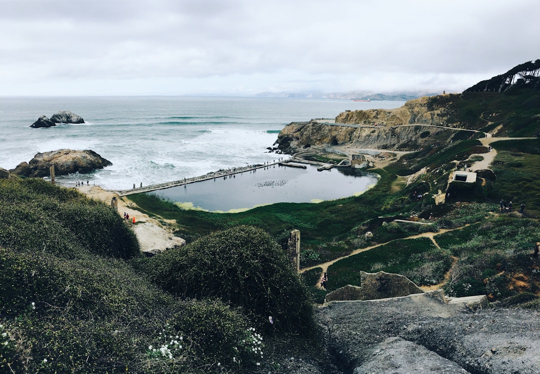
Sutro Baths
46 km away from Point Reyes National Seashore
Read the Travel guide View on Google Maps

San Francisco
52 km away from Point Reyes National Seashore
Read the Travel guide View on Google Maps

94037
65 km away from Point Reyes National Seashore
Read the Travel guide View on Google Maps
Book your Travel Experience in Point Reyes National Seashore
Discover the best tours and activities in Point Reyes National Seashore and book your travel experience today with our booking partners
Learn More about Point Reyes National Seashore
Find Hotels in Point Reyes National Seashore
Discover the best hotels around Point Reyes National Seashore, United States and book your stay today with our booking partner booking.com